Informative Map System


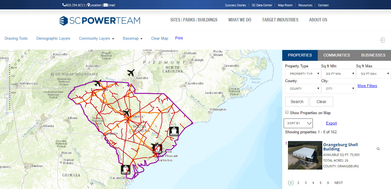
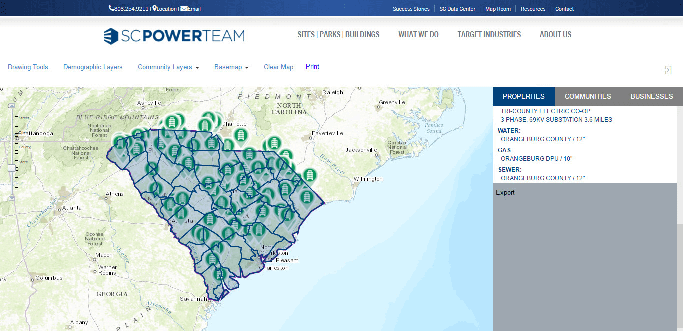
The system basically deals in to provide the information on the map. You can represent it as a smaller pack of google map. The way google map shows the properties, hospitals, flights, region boundaries, etc, in similar way the SC_power tema provides you the details for hospitals, flights, county boundaries, rail roads, ports, etc.
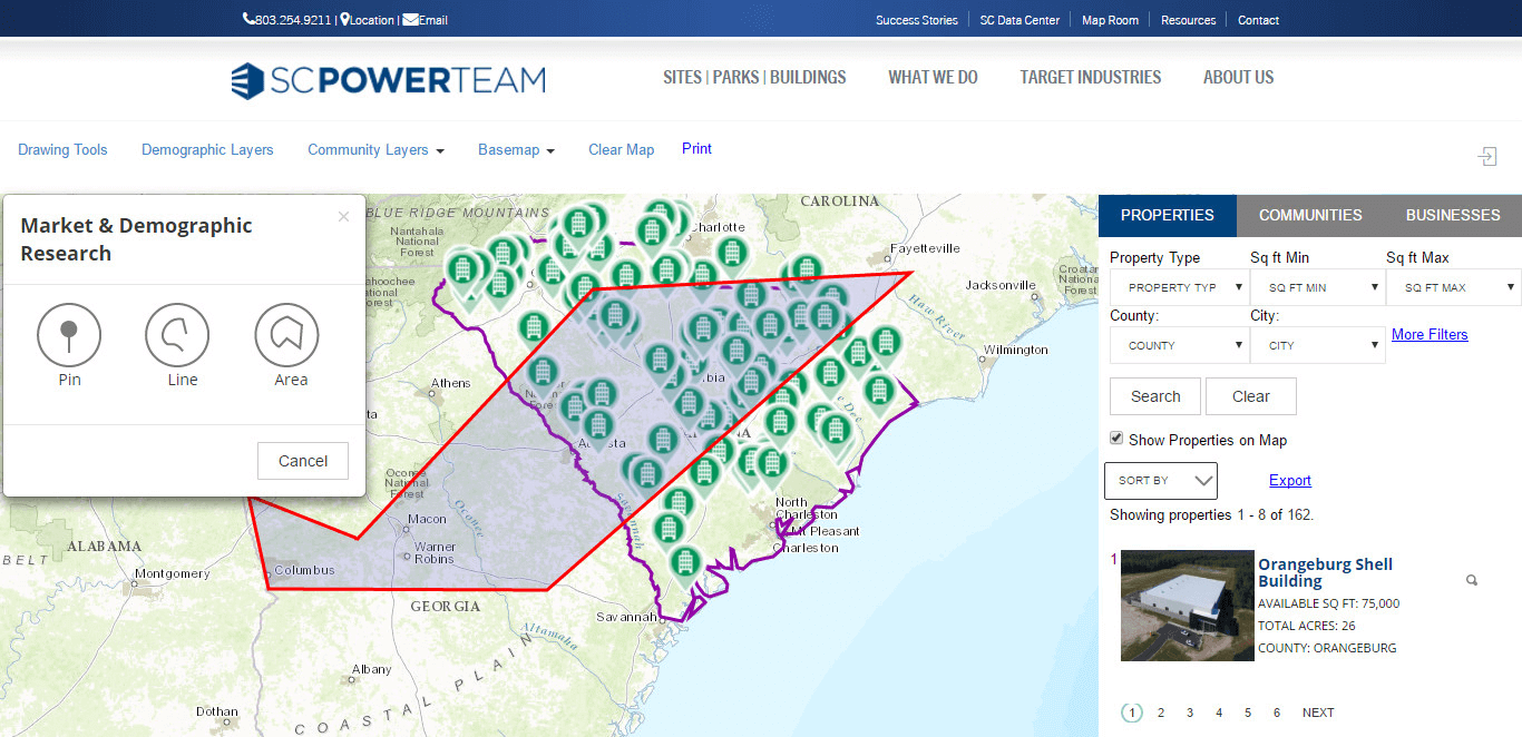
For property search, it provides a section where you can apply various kind of filters to have a glance over the desired proeprties. It do also provide few of the map tools like Pin Point, Line, Area. The user also has priviledges for exporting the details for the things over map in the excel or pdf format. This system also provides an option to change the basemap, to have the layer visible in different map view such as Strret View, Imagenary View, Oceans View, etc.