
Layer Representation System over Map

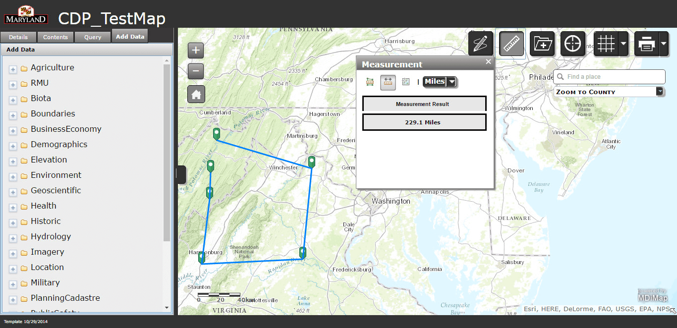
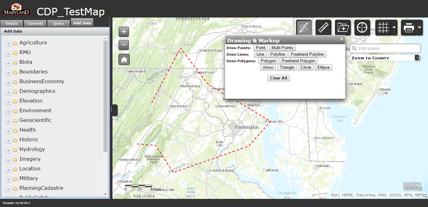
This is another system in the list relative to Maps. This system majorly focusing on the layer preview over the map, based on the data in the clients database. User can glance the desired layers from the layer list visible to user on left hand side (in layer category format). User have many map tools user work on with such as drawing tools, measurement tools, location finder tools, etc.
User can also add its own layer on map by uploading the data in shape files format (zipped file). This system also provides an option to change the basemap, to have the layer visible in different map view such as Strret View, Imagenary View, Oceans View, etc.